Description
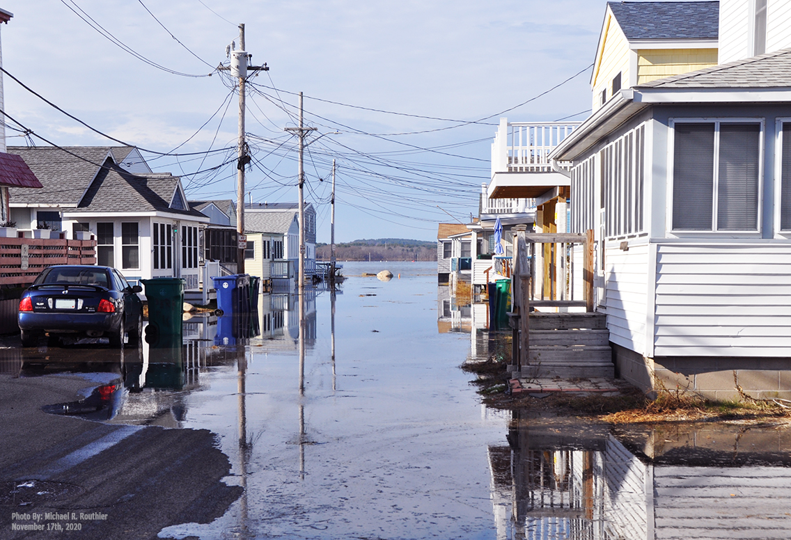
The Seacoast of New Hampshire continues to be impacted by flooding caused by intense storm events and tidal flooding linked to climate change driven by Sea-Level Rise. These events threaten homes, businesses, infrastructure, historic buildings, livelihoods and ecosystem services. These threats have prompted multiple efforts to develop adaptation plans to build resilience. Accurate documentation of the magnitude and timing of coastal flooding driven by variables such as local geography, weather, rainfall, storm surge, presence of road crossings, or other restrictions to flow are essential to inform resilience measures. In response to this need this website provides access to data from a wireless water level sensing monitoring network to gain an understanding of tide propagation, coastal flooding and storm surge events relative to their underlying physical and temporal variables for the town of Hampton, New Hampshire.
Please choose an option from the above menu to explore the flood monitoring network via maps, graphs, and aerial photos.
Funding provided by:
Please note that the network sensors collect data over the spring, summer, and fall seasons but are removed from the marshes in winter to prevent damage from ice and other harsh seasonal conditions. Archived data remains available through the year.